Millbridge
Introduction
The photograph on this page of Millbridge by Tony Atkin as part of the Geograph project.
The Geograph project started in 2005 with the aim of publishing, organising and preserving representative images for every square kilometre of Great Britain, Ireland and the Isle of Man.

There are currently over 7.5m images from over 14,400 individuals and you can help contribute to the project by visiting https://www.geograph.org.uk
Millbridge
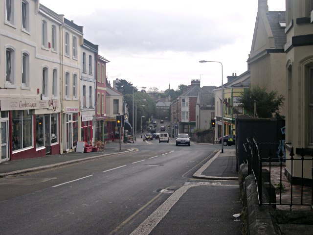
Image: © Tony Atkin Taken: 29 Jul 2005
This area of Plymouth is called Millbridge and is centred on this traffic light controlled crossroads. Around the crossroads can be found the usual local shops and services including a pub, mini-mart, take-away and several second-hand shops. The mill bridge after which this area is named was at the bottom of the hill on the road in the distance but the mills have long since vanished and the tidal creek the road crossed filled in to become a park Image
Images are licensed for reuse under creativecommons.org/licenses/by-sa/2.0
Image Location
Latitude
50.375362
Longitude
-4.159806