Frocester Court
Introduction
The photograph on this page of Frocester Court by David Gruar as part of the Geograph project.
The Geograph project started in 2005 with the aim of publishing, organising and preserving representative images for every square kilometre of Great Britain, Ireland and the Isle of Man.

There are currently over 7.5m images from over 14,400 individuals and you can help contribute to the project by visiting https://www.geograph.org.uk
Frocester Court
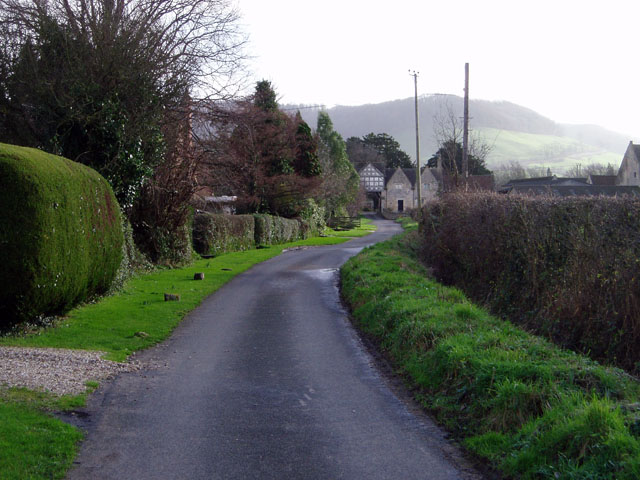
Image: © David Gruar Taken: 20 Jan 2007
The gatehouse to Frocester's manor house and associated farm. This lane would probably once have been the private drive to the house, but now has a number of private properties adjoining it and has been converted into another village street.
Images are licensed for reuse under creativecommons.org/licenses/by-sa/2.0
Image Location
Latitude
51.725306
Longitude
-2.311222