Footpath and cycle route near Staveley
Introduction
The photograph on this page of Footpath and cycle route near Staveley by Andrew Hill as part of the Geograph project.
The Geograph project started in 2005 with the aim of publishing, organising and preserving representative images for every square kilometre of Great Britain, Ireland and the Isle of Man.

There are currently over 7.5m images from over 14,400 individuals and you can help contribute to the project by visiting https://www.geograph.org.uk
Footpath and cycle route near Staveley
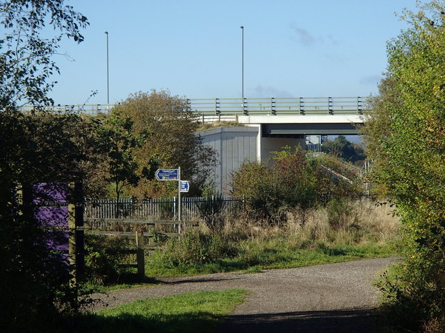
Image: © Andrew Hill Taken: 6 Oct 2012
View from an old railway that now forms part of the Trans Pennine Trail. The Cuckoo Way also follows the old canal route nearby. There is rather a maze of paths either side of existing railway (beyond the fence). Beyond the road bridge is the new Staveley canal basin, marking the present extent of the redevelopment of the Chesterfield Canal in this direction.
Images are licensed for reuse under creativecommons.org/licenses/by-sa/2.0
Image Location
Latitude
53.273433
Longitude
-1.346311