Garden allotments, Morpeth
Introduction
The photograph on this page of Garden allotments, Morpeth by Willie Duffin as part of the Geograph project.
The Geograph project started in 2005 with the aim of publishing, organising and preserving representative images for every square kilometre of Great Britain, Ireland and the Isle of Man.

There are currently over 7.5m images from over 14,400 individuals and you can help contribute to the project by visiting https://www.geograph.org.uk
Garden allotments, Morpeth
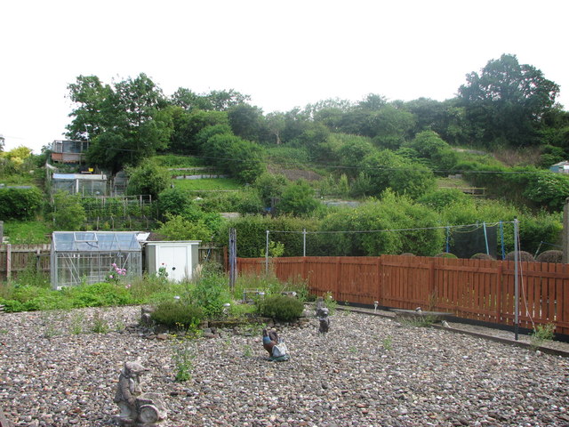
Image: © Willie Duffin Taken: 19 Jul 2012
Situated on the embankment between Green Lane and Bennets Walk.
Images are licensed for reuse under creativecommons.org/licenses/by-sa/2.0
Image Location
Latitude
55.166275
Longitude
-1.679747