The East Coast Main Line and footbridge
Introduction
The photograph on this page of The East Coast Main Line and footbridge by Paul Franks as part of the Geograph project.
The Geograph project started in 2005 with the aim of publishing, organising and preserving representative images for every square kilometre of Great Britain, Ireland and the Isle of Man.

There are currently over 7.5m images from over 14,400 individuals and you can help contribute to the project by visiting https://www.geograph.org.uk
The East Coast Main Line and footbridge
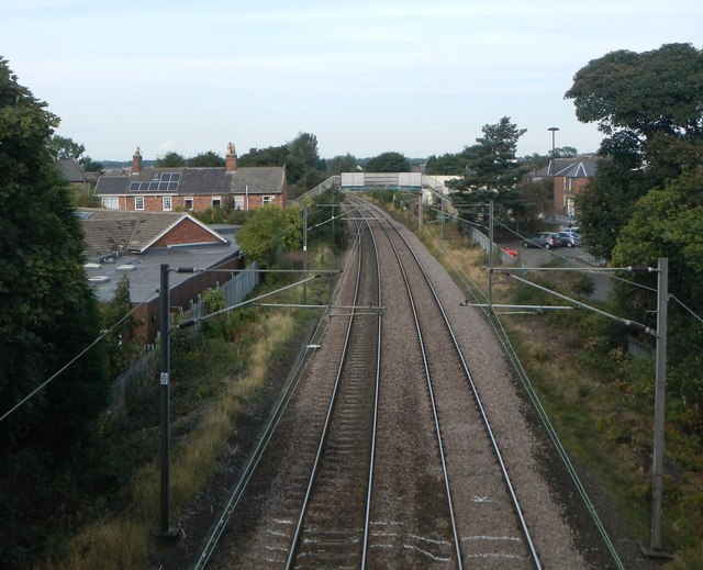
Image: © Paul Franks Taken: 23 Sep 2012
The site of Forest Hall station and signal box is beyond the footbridge. The station was closed in the 1960's. The present footbridge replaced the original, lower one to allow space for the overhead electric cables.
Images are licensed for reuse under creativecommons.org/licenses/by-sa/2.0
Image Location


Leaflet Map data © OpenStreetMap
Latitude
55.021253
Longitude
-1.567665