Near Scotstoun
Introduction
The photograph on this page of Near Scotstoun by Anne Burgess as part of the Geograph project.
The Geograph project started in 2005 with the aim of publishing, organising and preserving representative images for every square kilometre of Great Britain, Ireland and the Isle of Man.

There are currently over 7.5m images from over 14,400 individuals and you can help contribute to the project by visiting https://www.geograph.org.uk
Near Scotstoun
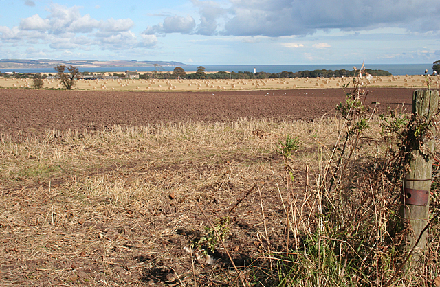
Image: © Anne Burgess Taken: 5 Oct 2012
Ploughed fields and straw bales in autumn sunshine. Scotston of Usan is in the middle distance, left of centre, and to its right is Scurdie Ness Lighthouse.
Images are licensed for reuse under creativecommons.org/licenses/by-sa/2.0
Image Location
Latitude
56.682437
Longitude
-2.470552