Path in Warrender Park
Introduction
The photograph on this page of Path in Warrender Park by Robin Webster as part of the Geograph project.
The Geograph project started in 2005 with the aim of publishing, organising and preserving representative images for every square kilometre of Great Britain, Ireland and the Isle of Man.

There are currently over 7.5m images from over 14,400 individuals and you can help contribute to the project by visiting https://www.geograph.org.uk
Path in Warrender Park
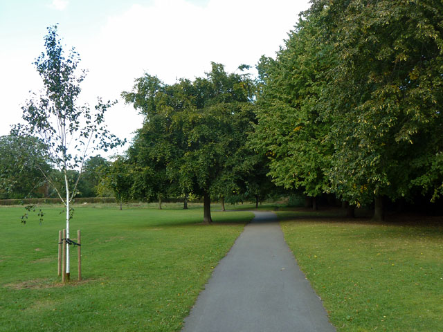
Image: © Robin Webster Taken: 29 Sep 2012
There is a gate from the park into Highgrove Wood beyond the hedge glimpsed on the left.
Images are licensed for reuse under creativecommons.org/licenses/by-sa/2.0
Image Location
Latitude
51.578398
Longitude
-0.404999