St Paul's Parish Church
Introduction
The photograph on this page of St Paul's Parish Church by David Dixon as part of the Geograph project.
The Geograph project started in 2005 with the aim of publishing, organising and preserving representative images for every square kilometre of Great Britain, Ireland and the Isle of Man.

There are currently over 7.5m images from over 14,400 individuals and you can help contribute to the project by visiting https://www.geograph.org.uk
St Paul's Parish Church
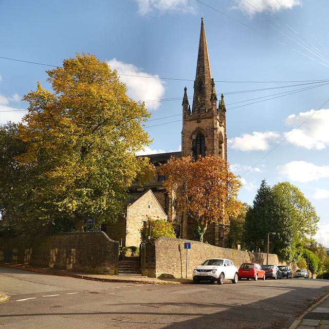
Image: © David Dixon Taken: 3 Oct 2012
St Paul's Parish Church, Macclesfield, is a Grade II listed building. (http://list.english-heritage.org.uk/resultsingle.aspx?uid=1218224 National Heritage List for England). It was built in 1843–44, an example of a "Commissioners' Church" (http://en.wikipedia.org/wiki/Commissioners%27_church ), having received a grant towards its construction from the Church Building Commission.
Images are licensed for reuse under creativecommons.org/licenses/by-sa/2.0
Image Location
Latitude
53.257455
Longitude
-2.119878