
National Cycle Network Route 7
Introduction
The photograph on this page of National Cycle Network Route 7 by Lairich Rig as part of the Geograph project.
The Geograph project started in 2005 with the aim of publishing, organising and preserving representative images for every square kilometre of Great Britain, Ireland and the Isle of Man.

There are currently over 7.5m images from over 14,400 individuals and you can help contribute to the project by visiting https://www.geograph.org.uk
National Cycle Network Route 7
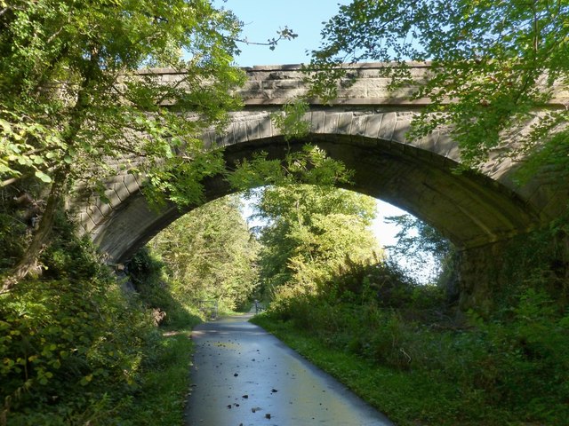
Image: © Lairich Rig Taken: 28 Sep 2012
This part of the cycle route follows what was formerly the course of a railway line. Between Dunglass Roundabout and the village of Bowling, the cycle path passes through two tunnels; one of them is shown here, and the other is not far to the east. The latter, shown in Image, is more elaborate, for reasons that are explained in Image Returning to the tunnel shown in the present photograph: some railings are visible on its far side; a burn flows under the cycle path at that point, as shown in Image, where the same railings are visible. For a path that leads over the top of the tunnel, see Image
Images are licensed for reuse under creativecommons.org/licenses/by-sa/2.0
Image Location

Latitude
55.931904
Longitude
-4.497417