A tributary of Scotland Brook
Introduction
The photograph on this page of A tributary of Scotland Brook by Bill Boaden as part of the Geograph project.
The Geograph project started in 2005 with the aim of publishing, organising and preserving representative images for every square kilometre of Great Britain, Ireland and the Isle of Man.

There are currently over 7.5m images from over 14,400 individuals and you can help contribute to the project by visiting https://www.geograph.org.uk
A tributary of Scotland Brook
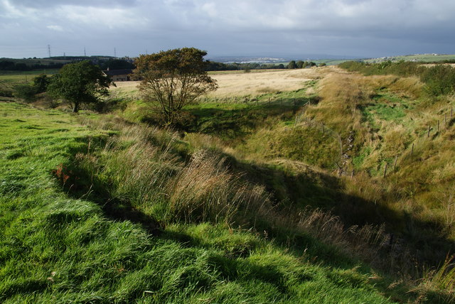
Image: © Bill Boaden Taken: 29 Sep 2012
Three local farms are called Scotland Farm and the local area is known as Scotland. The brook runs off Hoddlesden Moss and then through Hoddlesden before reaching the River Darwen.
Images are licensed for reuse under creativecommons.org/licenses/by-sa/2.0
Image Location
Latitude
53.688301
Longitude
-2.423645