Cheshire Lines through Woodley
Introduction
The photograph on this page of Cheshire Lines through Woodley by Gerald England as part of the Geograph project.
The Geograph project started in 2005 with the aim of publishing, organising and preserving representative images for every square kilometre of Great Britain, Ireland and the Isle of Man.

There are currently over 7.5m images from over 14,400 individuals and you can help contribute to the project by visiting https://www.geograph.org.uk
Cheshire Lines through Woodley
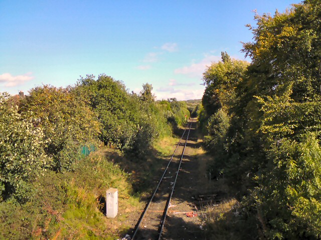
Image: © Gerald England Taken: 3 Oct 2012
View from the footbridge connecting Woodley Precinct to Hollyhouse Drive. Once a busy dual line connecting Yorkshire via Godley and Woodley Junction to Merseyside via Stockport Tivy Dale, but now just a single line leading to works in Bredbury.
Images are licensed for reuse under creativecommons.org/licenses/by-sa/2.0
Image Location


Leaflet Map data © OpenStreetMap
Latitude
53.426549
Longitude
-2.100339