Site of Cuthlie station, 1988
Introduction
The photograph on this page of Site of Cuthlie station, 1988 by Ben Brooksbank as part of the Geograph project.
The Geograph project started in 2005 with the aim of publishing, organising and preserving representative images for every square kilometre of Great Britain, Ireland and the Isle of Man.

There are currently over 7.5m images from over 14,400 individuals and you can help contribute to the project by visiting https://www.geograph.org.uk
Site of Cuthlie station, 1988
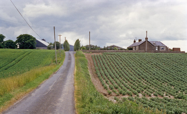
Image: © Ben Brooksbank Taken: 21 Jun 1988
View SW: fields and a farm where the ex-NBR Elliot Junction (to left) - Carmyllie (to right) Light Railway used to run. The station and line lost its passenger service from 2/12/29, its freight from 26/5/65.
Images are licensed for reuse under creativecommons.org/licenses/by-sa/2.0
Image Location
Latitude
56.563292
Longitude
-2.653586