Farmland, Wharf Road, Wroughton
Introduction
The photograph on this page of Farmland, Wharf Road, Wroughton by Brian Robert Marshall as part of the Geograph project.
The Geograph project started in 2005 with the aim of publishing, organising and preserving representative images for every square kilometre of Great Britain, Ireland and the Isle of Man.

There are currently over 7.5m images from over 14,400 individuals and you can help contribute to the project by visiting https://www.geograph.org.uk
Farmland, Wharf Road, Wroughton
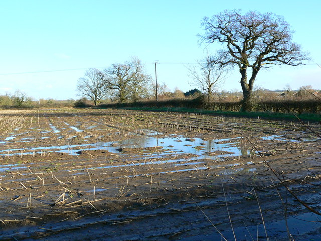
Image: © Brian Robert Marshall Taken: 20 Jan 2007
The field shows the effects of the recent wet weather. Visible behind the hedge and tree to the right are the northernmost houses of Wroughton itself.
Images are licensed for reuse under creativecommons.org/licenses/by-sa/2.0
Image Location
Latitude
51.532246
Longitude
-1.805331