The weir
Introduction
The photograph on this page of The weir by Peter Turner as part of the Geograph project.
The Geograph project started in 2005 with the aim of publishing, organising and preserving representative images for every square kilometre of Great Britain, Ireland and the Isle of Man.

There are currently over 7.5m images from over 14,400 individuals and you can help contribute to the project by visiting https://www.geograph.org.uk
The weir
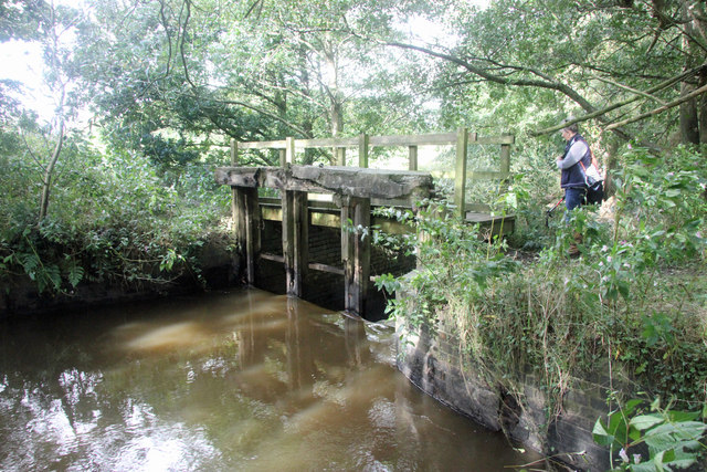
Image: © Peter Turner Taken: 29 Sep 2012
Built to raise the water level to flood the millpond via a leat that was sited at the photographer's feet. No longer adjustable the structure helps support the footbridge marked on the map.
Images are licensed for reuse under creativecommons.org/licenses/by-sa/2.0
Image Location
Latitude
53.261214
Longitude
-2.382982