Brook by Highfield Road, Golders Green
Introduction
The photograph on this page of Brook by Highfield Road, Golders Green by David Howard as part of the Geograph project.
The Geograph project started in 2005 with the aim of publishing, organising and preserving representative images for every square kilometre of Great Britain, Ireland and the Isle of Man.

There are currently over 7.5m images from over 14,400 individuals and you can help contribute to the project by visiting https://www.geograph.org.uk
Brook by Highfield Road, Golders Green
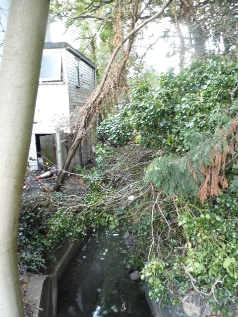
Image: © David Howard Taken: 3 Oct 2012
Although I've walked around the area all my life this was the first time I saw the brook here, one of the only locations where it is visible on a public road. It runs from the River Brent at Brent Bridge and stops just short of Ravenscroft Avenue, and explains why only one road connects Golders Green with Temple Fortune between the North Circular and Ravenscroft Avenue as it runs at the back of people's gardens.
Images are licensed for reuse under creativecommons.org/licenses/by-sa/2.0
Image Location


Leaflet Map data © OpenStreetMap
Latitude
51.580217
Longitude
-0.20706