Junction of Wakeham and Moorfield Road
Introduction
The photograph on this page of Junction of Wakeham and Moorfield Road by Roger Templeman as part of the Geograph project.
The Geograph project started in 2005 with the aim of publishing, organising and preserving representative images for every square kilometre of Great Britain, Ireland and the Isle of Man.

There are currently over 7.5m images from over 14,400 individuals and you can help contribute to the project by visiting https://www.geograph.org.uk
Junction of Wakeham and Moorfield Road
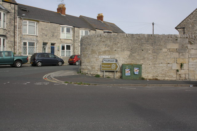
Image: © Roger Templeman Taken: 22 Sep 2012
The houses on the left are on Moorfield Road, the wall is on Wakeham, and has an OS benchmark Image on the stone under a hanging plant near the right hand edge of the image.
Images are licensed for reuse under creativecommons.org/licenses/by-sa/2.0
Image Location
Latitude
50.544798
Longitude
-2.433503