Towards Hedge Barton
Introduction
The photograph on this page of Towards Hedge Barton by Graham Horn as part of the Geograph project.
The Geograph project started in 2005 with the aim of publishing, organising and preserving representative images for every square kilometre of Great Britain, Ireland and the Isle of Man.

There are currently over 7.5m images from over 14,400 individuals and you can help contribute to the project by visiting https://www.geograph.org.uk
Towards Hedge Barton
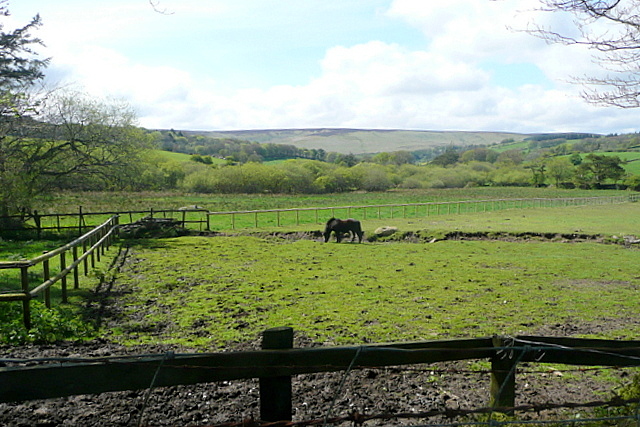
Image: © Graham Horn Taken: 11 May 2012
The north-eastern part of the square, dropping towards the East Webburn River valley before rising towards Hamel Down beyond.
Images are licensed for reuse under creativecommons.org/licenses/by-sa/2.0
Image Location
Latitude
50.596143
Longitude
-3.784429