Perryfield House within the Perryfield Quarry housing development
Introduction
The photograph on this page of Perryfield House within the Perryfield Quarry housing development by Roger Templeman as part of the Geograph project.
The Geograph project started in 2005 with the aim of publishing, organising and preserving representative images for every square kilometre of Great Britain, Ireland and the Isle of Man.

There are currently over 7.5m images from over 14,400 individuals and you can help contribute to the project by visiting https://www.geograph.org.uk
Perryfield House within the Perryfield Quarry housing development
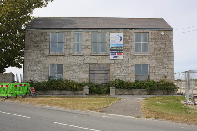
Image: © Roger Templeman Taken: 22 Sep 2012
There is an OS benchmark Image on the right hand side of the building currently behind security fencing
Images are licensed for reuse under creativecommons.org/licenses/by-sa/2.0
Image Location
Latitude
50.537877
Longitude
-2.432311