The Caves at Mons Hill
Introduction
The photograph on this page of The Caves at Mons Hill by John M as part of the Geograph project.
The Geograph project started in 2005 with the aim of publishing, organising and preserving representative images for every square kilometre of Great Britain, Ireland and the Isle of Man.

There are currently over 7.5m images from over 14,400 individuals and you can help contribute to the project by visiting https://www.geograph.org.uk
The Caves at Mons Hill
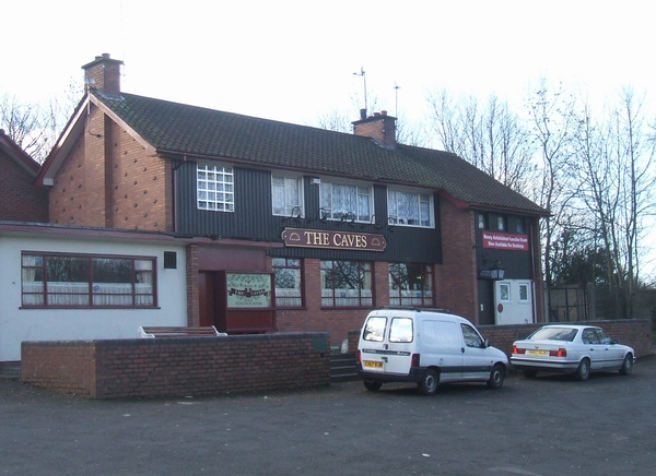
Image: © John M Taken: 20 Jan 2007
Public House on the top of Mons Hill adjacent to the Wren's Nest National Nature Reserve. The pub name reflects the limestone mining history and presence nearby of caverns within the Reserve.
Images are licensed for reuse under creativecommons.org/licenses/by-sa/2.0
Image Location
Latitude
52.527543
Longitude
-2.095619