Ashburton House
Introduction
The photograph on this page of Ashburton House by Pauline E as part of the Geograph project.
The Geograph project started in 2005 with the aim of publishing, organising and preserving representative images for every square kilometre of Great Britain, Ireland and the Isle of Man.

There are currently over 7.5m images from over 14,400 individuals and you can help contribute to the project by visiting https://www.geograph.org.uk
Ashburton House
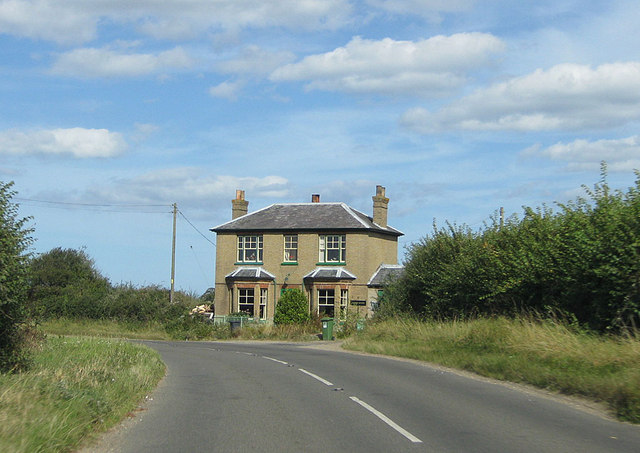
Image: © Pauline E Taken: 17 Sep 2012
On the B1105 south of Wells-next-the-Sea.
Images are licensed for reuse under creativecommons.org/licenses/by-sa/2.0
Image Location
Latitude
52.948984
Longitude
0.847347