Donkey Pool Playing Fields
Introduction
The photograph on this page of Donkey Pool Playing Fields by John M as part of the Geograph project.
The Geograph project started in 2005 with the aim of publishing, organising and preserving representative images for every square kilometre of Great Britain, Ireland and the Isle of Man.

There are currently over 7.5m images from over 14,400 individuals and you can help contribute to the project by visiting https://www.geograph.org.uk
Donkey Pool Playing Fields
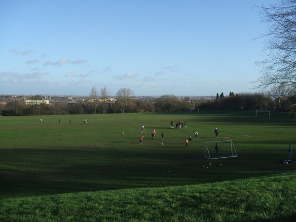
Image: © John M Taken: 20 Jan 2007
A Saturday morning game of football for the kids on the playing fields. Behind them the Black Country skyline extends out into the distance. This would once have been obscured by the smoke from the steelworks and other heavy industry for which the area was noted.
Images are licensed for reuse under creativecommons.org/licenses/by-sa/2.0
Image Location
Latitude
52.52674
Longitude
-2.088395