Fields at Upper Wraxall
Introduction
The photograph on this page of Fields at Upper Wraxall by Nigel Mykura as part of the Geograph project.
The Geograph project started in 2005 with the aim of publishing, organising and preserving representative images for every square kilometre of Great Britain, Ireland and the Isle of Man.

There are currently over 7.5m images from over 14,400 individuals and you can help contribute to the project by visiting https://www.geograph.org.uk
Fields at Upper Wraxall
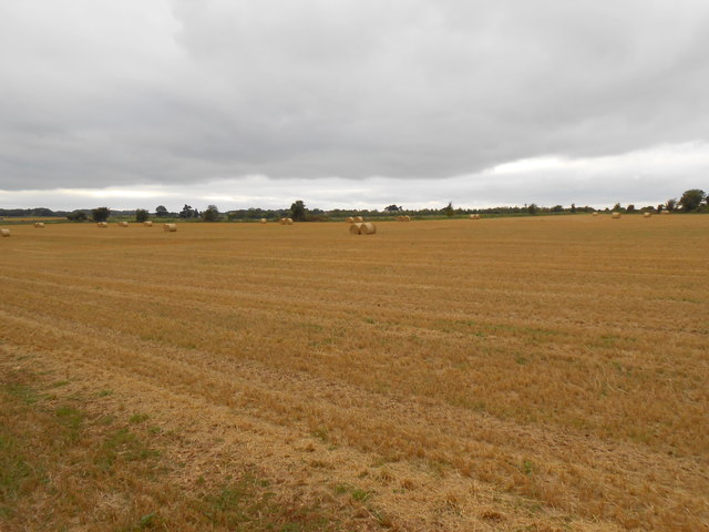
Image: © Nigel Mykura Taken: 16 Sep 2012
All that was left in this large wheat field after harvesting was a few round bales of straw and some stubble.It is just off the Fosse Way
Images are licensed for reuse under creativecommons.org/licenses/by-sa/2.0
Image Location
Latitude
51.469851
Longitude
-2.279967