Stamford Brook: the former St. Mary's Church
Introduction
The photograph on this page of Stamford Brook: the former St. Mary's Church by Dr Neil Clifton as part of the Geograph project.
The Geograph project started in 2005 with the aim of publishing, organising and preserving representative images for every square kilometre of Great Britain, Ireland and the Isle of Man.

There are currently over 7.5m images from over 14,400 individuals and you can help contribute to the project by visiting https://www.geograph.org.uk
Stamford Brook: the former St. Mary's Church
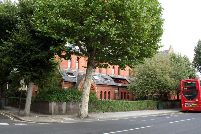
Image: © Dr Neil Clifton Taken: 2 Oct 2012
At the east end of Stamford Brook Road. Now converted into flats. The bus just exiting the picture at the right is an ADL-class hybrid powered vehicle operated by London United-RATP on Route 94 between Piccadilly Circus and Acton Green
Images are licensed for reuse under creativecommons.org/licenses/by-sa/2.0
Image Location
Latitude
51.498684
Longitude
-0.244551