Daisy Lea Lane
Introduction
The photograph on this page of Daisy Lea Lane by John Slater as part of the Geograph project.
The Geograph project started in 2005 with the aim of publishing, organising and preserving representative images for every square kilometre of Great Britain, Ireland and the Isle of Man.

There are currently over 7.5m images from over 14,400 individuals and you can help contribute to the project by visiting https://www.geograph.org.uk
Daisy Lea Lane
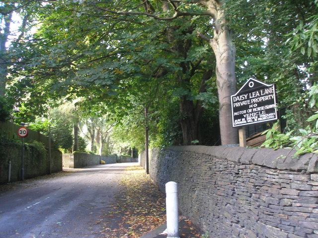
Image: © John Slater Taken: 29 Sep 2012
A private road, there is no way through for vehicles, unless you can open the gates half way along. There is an unlocked pedestrian gate but it isn't clear whether horse riders (as opposed to horse drawn vehicles) have a right to use the route
Images are licensed for reuse under creativecommons.org/licenses/by-sa/2.0
Image Location
Latitude
53.660053
Longitude
-1.812777