Navigation Wharf
Introduction
The photograph on this page of Navigation Wharf by Bob Harvey as part of the Geograph project.
The Geograph project started in 2005 with the aim of publishing, organising and preserving representative images for every square kilometre of Great Britain, Ireland and the Isle of Man.

There are currently over 7.5m images from over 14,400 individuals and you can help contribute to the project by visiting https://www.geograph.org.uk
Navigation Wharf
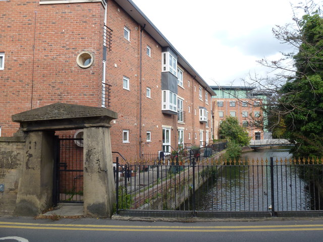
Image: © Bob Harvey Taken: 2 Oct 2012
Since Image was taken, the new flats have been built next to the Wharf, and the old gateway becomes a private gate. Having stood true and upright for 211 years it is now on the skew.
Images are licensed for reuse under creativecommons.org/licenses/by-sa/2.0
Image Location
Latitude
52.998591
Longitude
-0.408295