The loughshore, Craigavad
Introduction
The photograph on this page of The loughshore, Craigavad by Albert Bridge as part of the Geograph project.
The Geograph project started in 2005 with the aim of publishing, organising and preserving representative images for every square kilometre of Great Britain, Ireland and the Isle of Man.

There are currently over 7.5m images from over 14,400 individuals and you can help contribute to the project by visiting https://www.geograph.org.uk
The loughshore, Craigavad
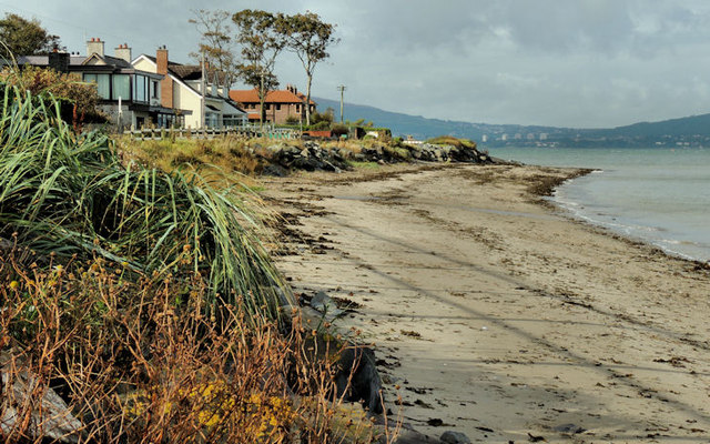
Image: © Albert Bridge Taken: 2 Oct 2012
The sandy shore of Belfast Lough, about an hour before high water Bangor, close to Royal Belfast Golf Club (out of picture to the left).
Images are licensed for reuse under creativecommons.org/licenses/by-sa/2.0
Image Location
Latitude
54.661469
Longitude
-5.792433