Path and cycleway, West Acton
Introduction
The photograph on this page of Path and cycleway, West Acton by David Hawgood as part of the Geograph project.
The Geograph project started in 2005 with the aim of publishing, organising and preserving representative images for every square kilometre of Great Britain, Ireland and the Isle of Man.

There are currently over 7.5m images from over 14,400 individuals and you can help contribute to the project by visiting https://www.geograph.org.uk
Path and cycleway, West Acton
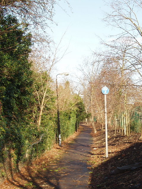
Image: © David Hawgood Taken: 19 Jan 2007
The path is between the Piccadilly Line on the left and the back of houses in Princes Gardens on the right. The other end is at Park Royal station and is on the A40 Western Avenue. It provides traffic-free routes into Park Royal, and to cycle tracks both ways beside the A40.
Images are licensed for reuse under creativecommons.org/licenses/by-sa/2.0
Image Location
Latitude
51.521648
Longitude
-0.283308