Heol Pluguffan, Llandovery
Introduction
The photograph on this page of Heol Pluguffan, Llandovery by Jaggery as part of the Geograph project.
The Geograph project started in 2005 with the aim of publishing, organising and preserving representative images for every square kilometre of Great Britain, Ireland and the Isle of Man.

There are currently over 7.5m images from over 14,400 individuals and you can help contribute to the project by visiting https://www.geograph.org.uk
Heol Pluguffan, Llandovery
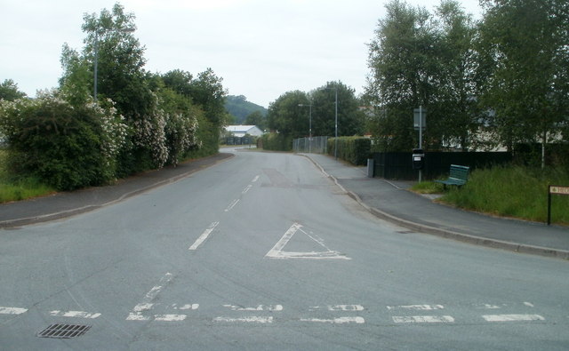
Image: © Jaggery Taken: 5 Jun 2011
Viewed from Lower Road (A4069). Heol Pluguffan leads to an industrial estate and Llandovery RFC's rugby ground. Pluguffan in Brittany, France is twinned with Llandovery.
Images are licensed for reuse under creativecommons.org/licenses/by-sa/2.0
Image Location
Latitude
51.98998
Longitude
-3.804508