Elizabeth House
Introduction
The photograph on this page of Elizabeth House by Hugh Venables as part of the Geograph project.
The Geograph project started in 2005 with the aim of publishing, organising and preserving representative images for every square kilometre of Great Britain, Ireland and the Isle of Man.

There are currently over 7.5m images from over 14,400 individuals and you can help contribute to the project by visiting https://www.geograph.org.uk
Elizabeth House
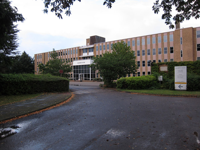
Image: © Hugh Venables Taken: 25 Aug 2012
Office block, with planning permission sought for a conversion to halls of residence for 261 students.
Images are licensed for reuse under creativecommons.org/licenses/by-sa/2.0
Image Location
Latitude
52.217431
Longitude
0.135724