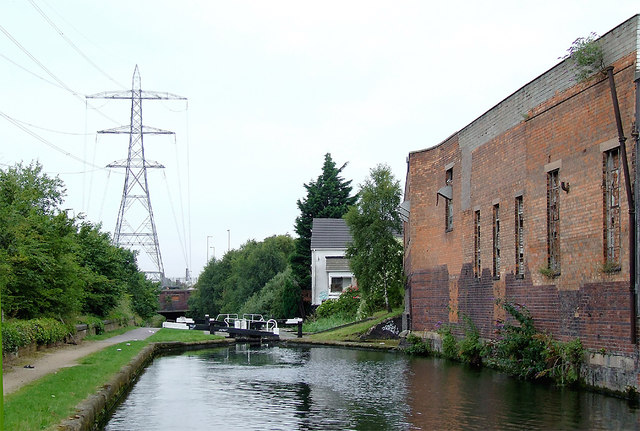
Approaching Garrison Bottom Lock near Saltley, Birmingham
Introduction
The photograph on this page of Approaching Garrison Bottom Lock near Saltley, Birmingham by Roger D Kidd as part of the Geograph project.
The Geograph project started in 2005 with the aim of publishing, organising and preserving representative images for every square kilometre of Great Britain, Ireland and the Isle of Man.
There are currently over 7.5m images from over 14,400 individuals and you can help contribute to the project by visiting https://www.geograph.org.uk

Image: © Roger D Kidd Taken: 21 Aug 2012
Grand Union Canal, The apparently derelict factory walls remain by the canal above the Garrison Bottom Lock No 63. In fact, the buildings behind them have actually been demolished, leaving open yards for newer industrial units in Adderley Road. Looking north towards Salford Junction. The two and a half mile former Birmingham and Warwick Junction Canal, linking Bordesley Junction with Salford Junction, is sometimes referred to as the Saltley Cut. It was opened in 1844 to avoid so many locks through Birmingham. It used to be considered "the filthiest canal in the country".

