National Cycle Network route signage
Introduction
The photograph on this page of National Cycle Network route signage by Robert Ashby as part of the Geograph project.
The Geograph project started in 2005 with the aim of publishing, organising and preserving representative images for every square kilometre of Great Britain, Ireland and the Isle of Man.

There are currently over 7.5m images from over 14,400 individuals and you can help contribute to the project by visiting https://www.geograph.org.uk
National Cycle Network route signage
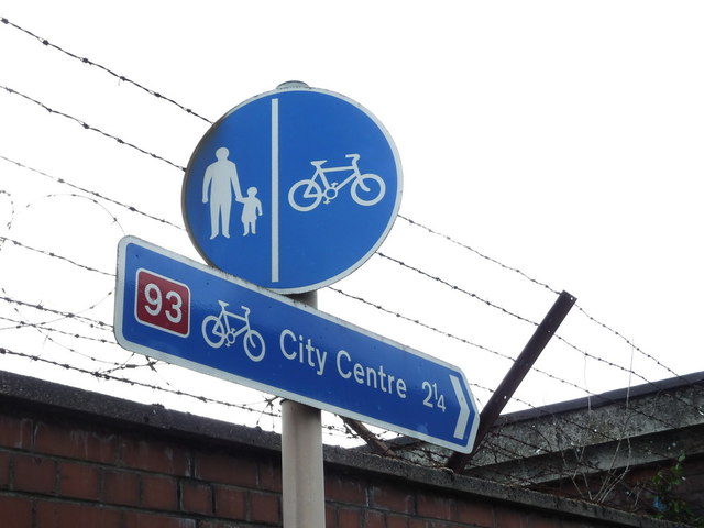
Image: © Robert Ashby Taken: 1 Oct 2012
Directional NCN route sign also indicating that it is on a stretch of path designated "shared use with pedestrians"
Images are licensed for reuse under creativecommons.org/licenses/by-sa/2.0
Image Location
Latitude
54.618779
Longitude
-5.91861