Allotment Lane in Ashbocking
Introduction
The photograph on this page of Allotment Lane in Ashbocking by Robert Edwards as part of the Geograph project.
The Geograph project started in 2005 with the aim of publishing, organising and preserving representative images for every square kilometre of Great Britain, Ireland and the Isle of Man.

There are currently over 7.5m images from over 14,400 individuals and you can help contribute to the project by visiting https://www.geograph.org.uk
Allotment Lane in Ashbocking
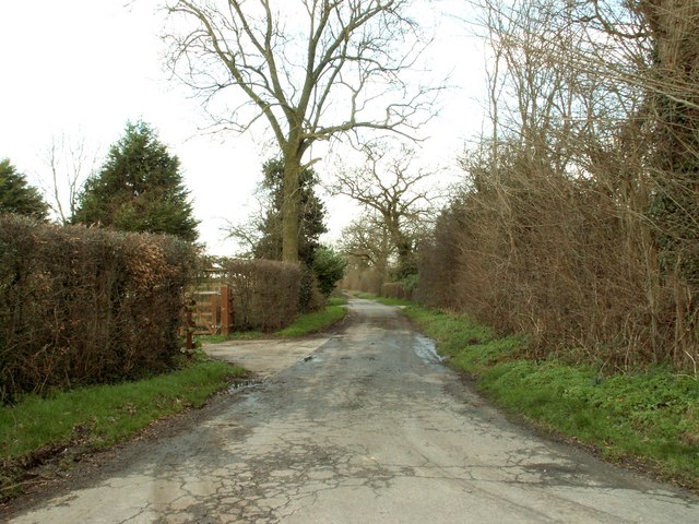
Image: © Robert Edwards Taken: 19 Jan 2007
This lane eventually ends up at Poplar Farm.
Images are licensed for reuse under creativecommons.org/licenses/by-sa/2.0
Image Location


Leaflet Map data © OpenStreetMap
Latitude
52.148234
Longitude
1.192387