The Longford River, by Windmill Road
Introduction
The photograph on this page of The Longford River, by Windmill Road by Stefan Czapski as part of the Geograph project.
The Geograph project started in 2005 with the aim of publishing, organising and preserving representative images for every square kilometre of Great Britain, Ireland and the Isle of Man.

There are currently over 7.5m images from over 14,400 individuals and you can help contribute to the project by visiting https://www.geograph.org.uk
The Longford River, by Windmill Road
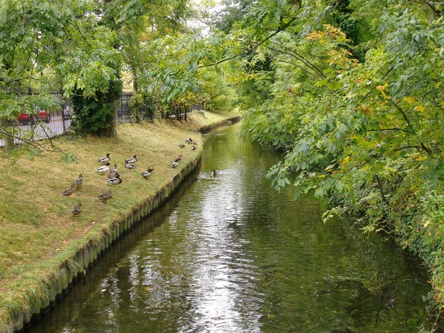
Image: © Stefan Czapski Taken: 28 Sep 2012
Looking downstream from the footbridge at the junction of the Uxbridge Road and Windmill Road. This stretch of the Longford River flows parallel to Windmill Road (which can be seen through the railings on the left). The Longford was one of a number of artificial water-courses - so-called 'rivers' - constructed in the London and Middlesex areas in the 17th century for purposes of water supply rather than navigation. See also: Image
Images are licensed for reuse under creativecommons.org/licenses/by-sa/2.0
Image Location
Latitude
51.427558
Longitude
-0.362931