Rush pasture near Gowerton
Introduction
The photograph on this page of Rush pasture near Gowerton by Simon Mortimer as part of the Geograph project.
The Geograph project started in 2005 with the aim of publishing, organising and preserving representative images for every square kilometre of Great Britain, Ireland and the Isle of Man.

There are currently over 7.5m images from over 14,400 individuals and you can help contribute to the project by visiting https://www.geograph.org.uk
Rush pasture near Gowerton
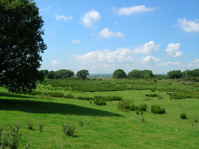
Image: © Simon Mortimer Taken: 9 Aug 2012
Looking north west towards Loughor estuary. The Penclawdd branch line once passed across the foreground of the picture, running parallel to the road from Gowerton to Penclawdd.
Images are licensed for reuse under creativecommons.org/licenses/by-sa/2.0
Image Location
Latitude
51.650504
Longitude
-4.062758