
Part of Cwrt y Person, Meifod
Introduction
The photograph on this page of Part of Cwrt y Person, Meifod by Jeremy Bolwell as part of the Geograph project.
The Geograph project started in 2005 with the aim of publishing, organising and preserving representative images for every square kilometre of Great Britain, Ireland and the Isle of Man.

There are currently over 7.5m images from over 14,400 individuals and you can help contribute to the project by visiting https://www.geograph.org.uk
Part of Cwrt y Person, Meifod
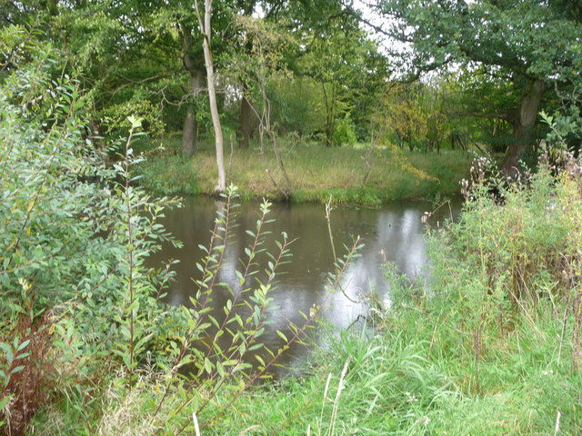
Image: © Jeremy Bolwell Taken: 30 Sep 2012
A medieval moated site on the edge of present day Meifod village. The Colfein record states: 'Cwrt-y-Person is a rectangular enclosure, is c.31m by 24m and defined by a moat, measuring 45m by 40m overall. The moat was waterfilled in 1972, but presently depicted (OS Landranger) as dry, having a south-east facing causewayed entrance. It is said to have been the site of the vicarage.' The moat, after the wet summer of 2012, is pretty full.
Images are licensed for reuse under creativecommons.org/licenses/by-sa/2.0
Image Location

Latitude
52.712691
Longitude
-3.254776