Trees between Duckshaw Farm and Higher Whethead Farm
Introduction
The photograph on this page of Trees between Duckshaw Farm and Higher Whethead Farm by John Topping as part of the Geograph project.
The Geograph project started in 2005 with the aim of publishing, organising and preserving representative images for every square kilometre of Great Britain, Ireland and the Isle of Man.

There are currently over 7.5m images from over 14,400 individuals and you can help contribute to the project by visiting https://www.geograph.org.uk
Trees between Duckshaw Farm and Higher Whethead Farm
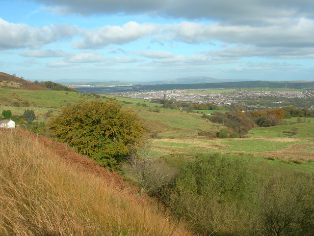
Image: © John Topping Taken: 16 Oct 2009
Darwen in the middle distance and Pendle Hill beyond, seen from the Witton Weavers Way.
Images are licensed for reuse under creativecommons.org/licenses/by-sa/2.0
Image Location
Latitude
53.674532
Longitude
-2.475882