Windblown
Introduction
The photograph on this page of Windblown by Bob Harvey as part of the Geograph project.
The Geograph project started in 2005 with the aim of publishing, organising and preserving representative images for every square kilometre of Great Britain, Ireland and the Isle of Man.

There are currently over 7.5m images from over 14,400 individuals and you can help contribute to the project by visiting https://www.geograph.org.uk
Windblown
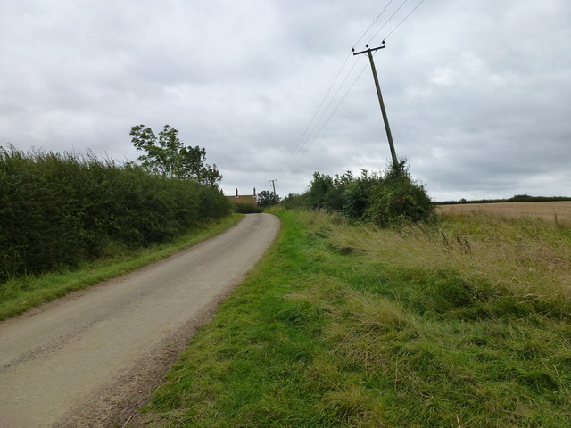
Image: © Bob Harvey Taken: 30 Sep 2012
Despite the high hedges, this is an exposed spot. Even the power poles are windblown!
Images are licensed for reuse under creativecommons.org/licenses/by-sa/2.0
Image Location
Latitude
52.864234
Longitude
-0.418565