Top of Crookgate Bank
Introduction
The photograph on this page of Top of Crookgate Bank by Robert Graham as part of the Geograph project.
The Geograph project started in 2005 with the aim of publishing, organising and preserving representative images for every square kilometre of Great Britain, Ireland and the Isle of Man.

There are currently over 7.5m images from over 14,400 individuals and you can help contribute to the project by visiting https://www.geograph.org.uk
Top of Crookgate Bank
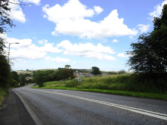
Image: © Robert Graham Taken: 8 Aug 2012
Looking down the bank towards the junction with the road from Burnopfield. This can be a tricky spot on bad winter weather.
Images are licensed for reuse under creativecommons.org/licenses/by-sa/2.0
Image Location
Latitude
54.906494
Longitude
-1.719709