Road through Cilcewydd
Introduction
The photograph on this page of Road through Cilcewydd by Bill Boaden as part of the Geograph project.
The Geograph project started in 2005 with the aim of publishing, organising and preserving representative images for every square kilometre of Great Britain, Ireland and the Isle of Man.

There are currently over 7.5m images from over 14,400 individuals and you can help contribute to the project by visiting https://www.geograph.org.uk
Road through Cilcewydd
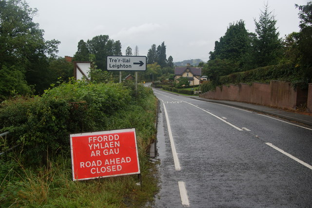
Image: © Bill Boaden Taken: 25 Sep 2012
There is not a lot to see of the village, with the road junction and mill at the bottom being the most noticeable parts. The road is closed because of floods beyond the village after it has crossed the Severn.
Images are licensed for reuse under creativecommons.org/licenses/by-sa/2.0
Image Location
Latitude
52.627359
Longitude
-3.140639