Lobleyhill Road , Byermoor
Introduction
The photograph on this page of Lobleyhill Road , Byermoor by Robert Graham as part of the Geograph project.
The Geograph project started in 2005 with the aim of publishing, organising and preserving representative images for every square kilometre of Great Britain, Ireland and the Isle of Man.

There are currently over 7.5m images from over 14,400 individuals and you can help contribute to the project by visiting https://www.geograph.org.uk
Lobleyhill Road , Byermoor
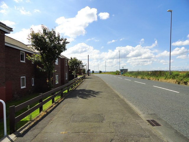
Image: © Robert Graham Taken: 8 Aug 2012
A little village just east of Burnopfield. At 700 ft on an exposed hilltop, it can be bleak in winter, although the views must make up for that a bit.
Images are licensed for reuse under creativecommons.org/licenses/by-sa/2.0
Image Location
Latitude
54.913115
Longitude
-1.707496