Watcombe, Barnpark Road
Introduction
The photograph on this page of Watcombe, Barnpark Road by Robin Stott as part of the Geograph project.
The Geograph project started in 2005 with the aim of publishing, organising and preserving representative images for every square kilometre of Great Britain, Ireland and the Isle of Man.

There are currently over 7.5m images from over 14,400 individuals and you can help contribute to the project by visiting https://www.geograph.org.uk
Watcombe, Barnpark Road
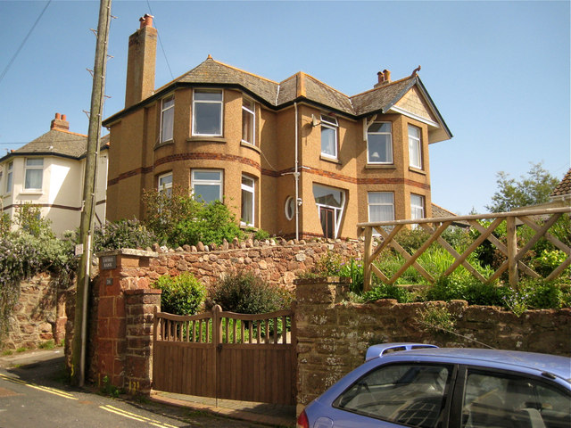
Image: © Robin Stott Taken: 6 May 2012
At first sight this house appears to be of the 1930s but closer inspection shows that it's a refurbished Victorian villa; the wall finish looks like pebbledash. Note the garden walls of local sandstone rubble, some parts rebuilt or repointed.
Images are licensed for reuse under creativecommons.org/licenses/by-sa/2.0
Image Location
Latitude
50.550049
Longitude
-3.493879