Slonk Dale Furlong
Introduction
The photograph on this page of Slonk Dale Furlong by Simon Carey as part of the Geograph project.
The Geograph project started in 2005 with the aim of publishing, organising and preserving representative images for every square kilometre of Great Britain, Ireland and the Isle of Man.

There are currently over 7.5m images from over 14,400 individuals and you can help contribute to the project by visiting https://www.geograph.org.uk
Slonk Dale Furlong
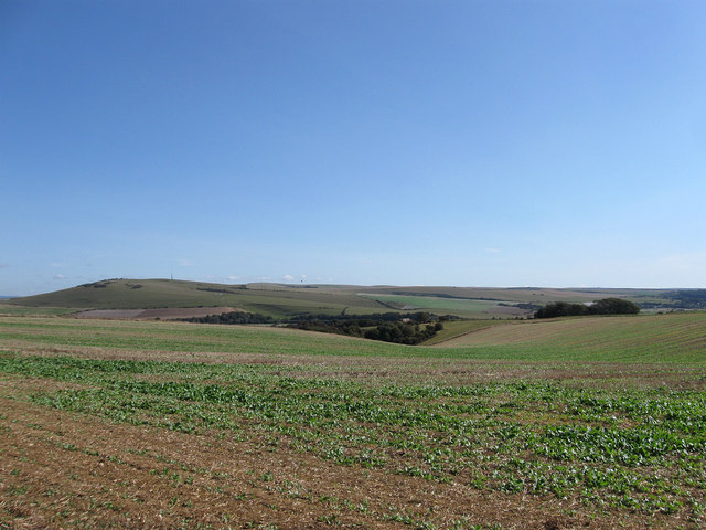
Image: © Simon Carey Taken: 22 Sep 2012
The name of the field according to a 1763 estate map of Southease that lies just above the coombe visible in the distance. Viewed from Gorham's Lane with Itford and Beddingham Hills across the Ouse valley to the left.
Images are licensed for reuse under creativecommons.org/licenses/by-sa/2.0
Image Location
Latitude
50.820826
Longitude
0.010169