The end of Molland Lane, Ash
Introduction
The photograph on this page of The end of Molland Lane, Ash by Nick Smith as part of the Geograph project.
The Geograph project started in 2005 with the aim of publishing, organising and preserving representative images for every square kilometre of Great Britain, Ireland and the Isle of Man.

There are currently over 7.5m images from over 14,400 individuals and you can help contribute to the project by visiting https://www.geograph.org.uk
The end of Molland Lane, Ash
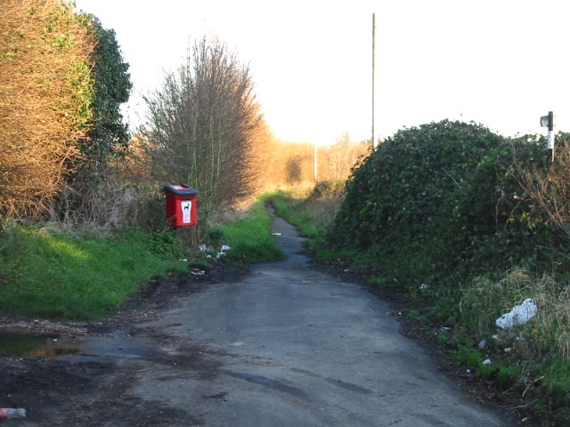
Image: © Nick Smith Taken: 19 Jan 2007
Molland Lane originally continued along this route but a new road cuts through and the lane was closed to through traffic, now only a bridleway continues.
Images are licensed for reuse under creativecommons.org/licenses/by-sa/2.0
Image Location
Latitude
51.282311
Longitude
1.271783