Glandy farm
Introduction
The photograph on this page of Glandy farm by chris whitehouse as part of the Geograph project.
The Geograph project started in 2005 with the aim of publishing, organising and preserving representative images for every square kilometre of Great Britain, Ireland and the Isle of Man.

There are currently over 7.5m images from over 14,400 individuals and you can help contribute to the project by visiting https://www.geograph.org.uk
Glandy farm
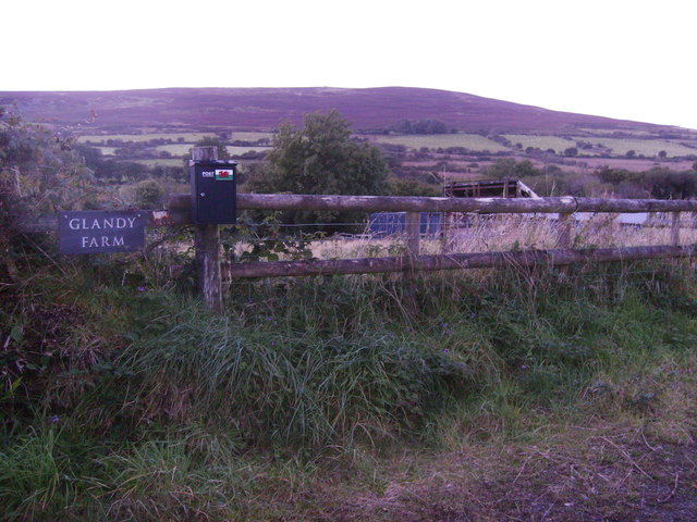
Image: © chris whitehouse Taken: 26 Sep 2012
The second old calf trailer, at this entrance, is to the right hidden in the long grass. Hill in the distance is Foel Drych.
Images are licensed for reuse under creativecommons.org/licenses/by-sa/2.0
Image Location


Leaflet Map data © OpenStreetMap
Latitude
51.927946
Longitude
-4.673436