Bakerloo superelevation
Introduction
The photograph on this page of Bakerloo superelevation by Robin Webster as part of the Geograph project.
The Geograph project started in 2005 with the aim of publishing, organising and preserving representative images for every square kilometre of Great Britain, Ireland and the Isle of Man.

There are currently over 7.5m images from over 14,400 individuals and you can help contribute to the project by visiting https://www.geograph.org.uk
Bakerloo superelevation
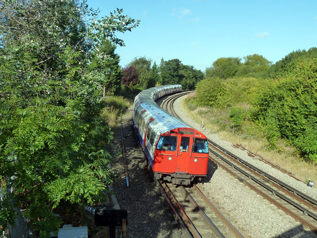
Image: © Robin Webster Taken: 29 Sep 2012
A northbound train of 1972 stock leans to the cant on the curve where the local lines switch sides with the main lines via a flyunder.
Images are licensed for reuse under creativecommons.org/licenses/by-sa/2.0
Image Location
Latitude
51.547671
Longitude
-0.291847