Old Millig Toll House
Introduction
The photograph on this page of Old Millig Toll House by Lairich Rig as part of the Geograph project.
The Geograph project started in 2005 with the aim of publishing, organising and preserving representative images for every square kilometre of Great Britain, Ireland and the Isle of Man.

There are currently over 7.5m images from over 14,400 individuals and you can help contribute to the project by visiting https://www.geograph.org.uk
Old Millig Toll House
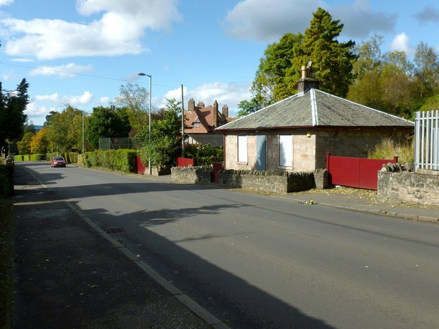
Image: © Lairich Rig Taken: 21 Sep 2012
The prominent building on the right was formerly a toll house. It is shown here in context beside Sinclair Road at the top of Helensburgh. For a closer look at the building, see Image
Images are licensed for reuse under creativecommons.org/licenses/by-sa/2.0
Image Location
Latitude
56.016352
Longitude
-4.724148