Old pumping station
Introduction
The photograph on this page of Old pumping station by Lairich Rig as part of the Geograph project.
The Geograph project started in 2005 with the aim of publishing, organising and preserving representative images for every square kilometre of Great Britain, Ireland and the Isle of Man.

There are currently over 7.5m images from over 14,400 individuals and you can help contribute to the project by visiting https://www.geograph.org.uk
Old pumping station
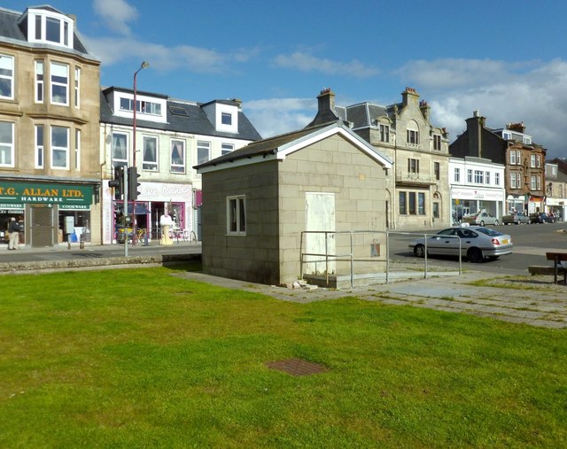
Image: © Lairich Rig Taken: 21 Sep 2012
The picture was taken from the start of Helensburgh's West Esplanade. West Clyde Street is in the background, and its junction with Colquhoun Street is located behind the pumping station. Later, when the John Muir Way was created, this building became its starting point; the sides of the old pumping station were decorated with murals, and an artwork and bench were installed nearby: see Image, which shows all of these features. See also Image and Image
Images are licensed for reuse under creativecommons.org/licenses/by-sa/2.0
Image Location
Latitude
56.003138
Longitude
-4.736372