The Bernish Road, Newry
Introduction
The photograph on this page of The Bernish Road, Newry by Albert Bridge as part of the Geograph project.
The Geograph project started in 2005 with the aim of publishing, organising and preserving representative images for every square kilometre of Great Britain, Ireland and the Isle of Man.

There are currently over 7.5m images from over 14,400 individuals and you can help contribute to the project by visiting https://www.geograph.org.uk
The Bernish Road, Newry
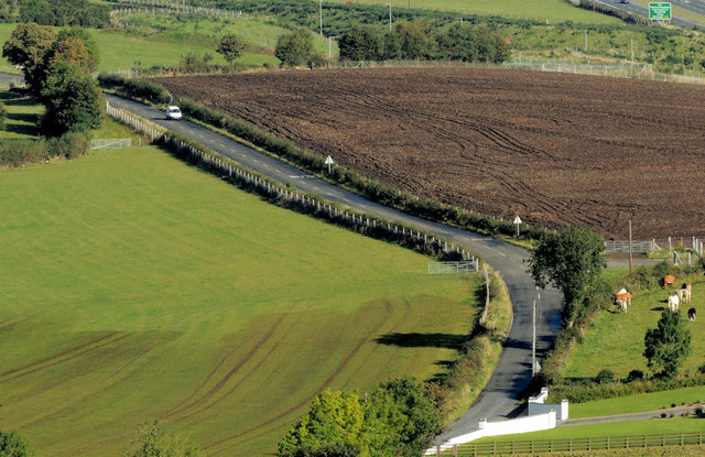
Image: © Albert Bridge Taken: 29 Sep 2012
The Bernish Road is a minor and, in places, very narrow road on the western side of Newry. This view, of a bend, is from the Bernish viewpoint Image at a height of about 700ft. Part of the Newry bypass Image intrudes at top right.
Images are licensed for reuse under creativecommons.org/licenses/by-sa/2.0
Image Location
Latitude
54.162184
Longitude
-6.363271