End of Thornton Way
Introduction
The photograph on this page of End of Thornton Way by Hugh Venables as part of the Geograph project.
The Geograph project started in 2005 with the aim of publishing, organising and preserving representative images for every square kilometre of Great Britain, Ireland and the Isle of Man.

There are currently over 7.5m images from over 14,400 individuals and you can help contribute to the project by visiting https://www.geograph.org.uk
End of Thornton Way
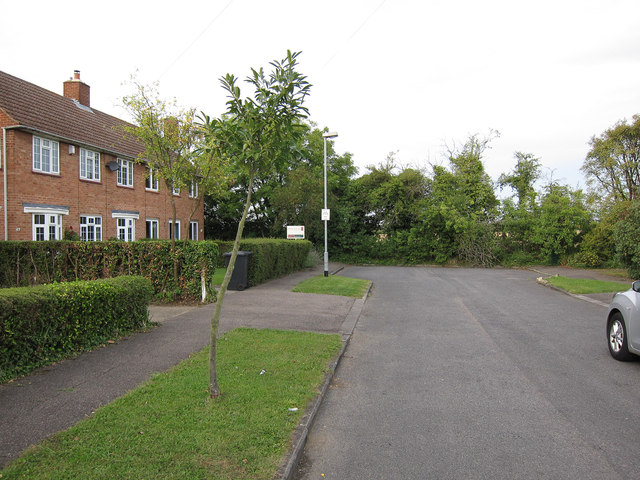
Image: © Hugh Venables Taken: 1 Sep 2012
The land beyond is proposed for an expansion of Cambridge, so this road may one day lead somewhere.
Images are licensed for reuse under creativecommons.org/licenses/by-sa/2.0
Image Location
Latitude
52.2292
Longitude
0.096165