Playing field
Introduction
The photograph on this page of Playing field by Lairich Rig as part of the Geograph project.
The Geograph project started in 2005 with the aim of publishing, organising and preserving representative images for every square kilometre of Great Britain, Ireland and the Isle of Man.

There are currently over 7.5m images from over 14,400 individuals and you can help contribute to the project by visiting https://www.geograph.org.uk
Playing field
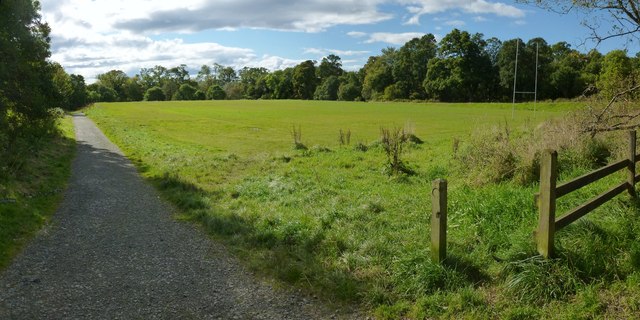
Image: © Lairich Rig Taken: 21 Sep 2012
Of the two paths shown in Image, the one on the left leads to the point from which this picture was taken (the fence and the post that appear in the right foreground of the present photograph can also be seen in that picture). The path leads to Image, where a short section of road leads in turn to Rhu Road Higher.
Images are licensed for reuse under creativecommons.org/licenses/by-sa/2.0
Image Location
Latitude
56.013992
Longitude
-4.753507